Online Tools
 New GLASSNET tools on MyGeoHub: Two new climate, land-use, and agricultural data tools developed by GLASSNET team members have recently been added to the online platform MyGeoHub (mygeohub.org), allowing researchers across domains to easily access the data they need to assess progress towards meeting the United Nations Sustainable Development Goals (SDGs).
- GGCMI-AgMIP Yield Data Aggregator Tool: We are excited to announce the launch of an updated online tool to access to the latest data from the Global Gridded Crop Model Intercomparison (GGCMI-AgMIP) project. The tool is now available on the MyGeoHub platform. It allows users to explore and download yield projections for maize, soybeans, rice, and wheat from twelve crop models and five CMIP6 global circulation models. This tool aggregates relative yield changes under a broad set of climate scenarios from their original 0.5° × 0.5° resolution to the country level or other custom aggregation levels.
GGCMI-AgMIP Yield Data Aggregator Tool: This tool delivers crop yield projections for maize, rice, soybeans, and wheat until 2100. These data are the latest generation (CMIP 6) of modeled crop yields coordinated by the Global Gridded Crop Model Intercomparison (GGCMI) group, part of the Agricultural Model Intercomparison Project (AgMIP).
- LandInG Viewer Tool: This tool provides access to a global land data set at a spatial resolution of 5 arc minutes or 30 arc minutes generated using the Land Input Generator (LandInG) version 1.0, a new toolbox for generating input datasets for terrestrial ecosystem models (TEMs) from diverse and partially conflicting data sources.
- SIMPLE-G (SIMPLE-on-a-GRID) US Jupyter Notebook Tool: This is the latest online SIMPLE-G US modeling tool implemented using Jupyter Notebook.
- SIMPLE-G (SIMPLE-on-a-GRID): a multi-region, partial equilibrium model of gridded cropland use, crop production, consumption and trade.
- SIMPLE-G US: This web-app version of SIMPLE-G permits users to explore and visualize the results of the PPRI policy briefs presented at the 2018 Conference on Long Run Sustainability of US Agriculture in Washington, DC.
- Climate Scenario Aggregator: downloading and aggregating global grids (0.5 degree) of bias-corrected, monthly mean historical and future temperature and precipitation from the five General Circulation Models (GCMs) used by the ISI-MIP project.
- FLAT (Fine-scale Land Allocation Tool): a tool for fine-scale global land use estimation, display, and comparison.
- Global Gridded Crop Model Evaluation Tool: evaluate your own model simulation results against different reference data sets at global, national and grid cell level for the four major crops maize, wheat, rice and soybean as well as against an ensemble of 14 global gridded crop models (GGCMs).
- SPAM in the Clouds: Spatial Production Allocation Model (SPAM) 2005 Beta Version
- GAMS (General Algebraic Modeling System): a high-level modeling system for mathematical programming and optimization.
- Workspace: a light Linux desktop environment that can be used for App development.
Featured Tools
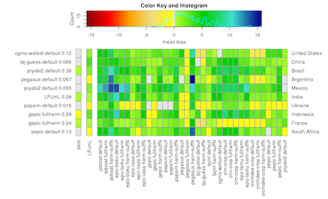
The Global Gridded Crop Model Intercomparison network is a member of GLASSNET. This tool, freely available on the GeoHub, allows users to evaluate their own model simulation results against different reference data sets at global, national and grid cell level for the four major crops maize, wheat, rice and soybean as well as against an ensemble of 14 global gridded crop models.