You must login before you can run this tool.
Category
Published on
Abstract
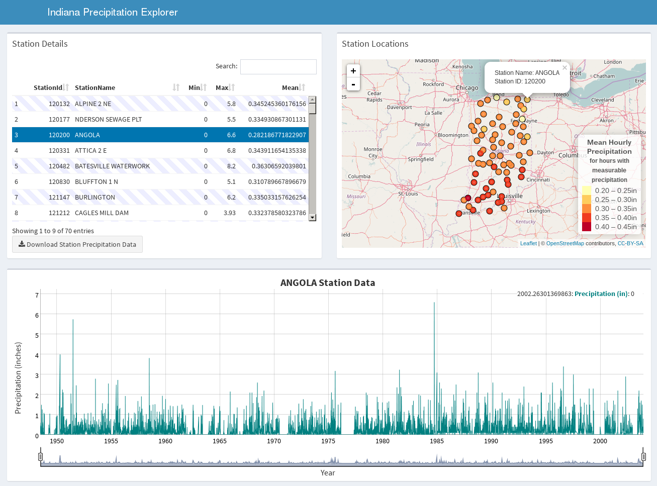
This R Shiny based application allows users to explore historical precipitation data from the state of Indiana. Markers on the map represent the location of monitoring stations. When the user clicks on a map marker or chooses a station row from the table, the historical precipitation data is show in the graph at the bottom of the page. Use the range tool under the graph, or click and drag on the graph to zoom in and explore data for specific years.
Credits
Data provided by NOAA through the NCDC ftp site (ftp.ncdc.noaa.gov)